Strategies to reduce phosphorus
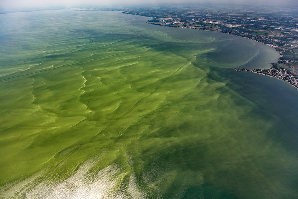
Photo: Aerial Associates Photography, Inc. (Zachary Haslick) via NOAA GLERL
GOAL: Reduce the amount of phosphorus entering the western and central basin of Lake Erie by 40 percent (from 2008 levels) / METRIC: Strategies to reduce phosphorus
What we track
Lake Erie jurisdictions share their progress as they implement activities under Domestic Action Plans for the reduction of phosphorus in Lake Erie.
Phosphorus reduction strategies
The Lake Erie Binational Phosphorus Reduction Strategy, prepared by the Great Lakes Water Quality Agreement Nutrients Annex Subcommittee, identifies common themes from the Domestic Action Plans:
- Reduce phosphorus loading from agricultural sources
- Reduce phosphorus loadings from municipal sources
- Support watershed-based planning and restoration efforts
- Coordinate science, research, and monitoring
- Enhance communication and outreach
While activities identified in the Binational Strategy may not be applicable in all jurisdictions, the five broad strategies help organize the activities each jurisdiction is taking to reduce phosphorus loads.
Why it matters
Domestic Action Plans are the “road map” for phosphorus control efforts being undertaken by states, the province of Ontario, and both federal governments. Success in controlling sources of phosphorus to Lake Erie should alleviate harmful algal blooms and hypoxia in the western and central basins, respectively. Note that New York State also shares information but is not obligated to produce a Domestic Action Plan because phosphorus targets for the eastern basin of Lake Erie have not be developed.
Source:
Lake Erie Binational Phosphorus Reduction Strategy, June 2019 and the ErieStat Work Group
Sources of Total Phosphorus
In the above graphic, source types may be turned off and onto more closely examine sources within the stacked bar graph.
- Adjustment for Unmonitored Area: The contribution of phosphorus from land downstream of a monitoring location is estimated by the unit area load (UAL). Briefly, the UAL (or yield, in loading per km²) is calculated from the upstream or an adjacent monitored watershed and is applied to the unmonitored area, excluding any indirect point sources from the UAL.
- Tributary Monitored NPS: Constitutes the monitored tributary load minus the direct point sources.
- Lake Huron Input: Flow data for the St. Clair River were combined with observed Lake Huron TP and soluble reactive phosphorus (SRP) concentrations from spring Environment and Climate Change Canada open lake cruises to estimate the phosphorus load from Lake Huron.
- Atmospheric deposition: Estimated from monthly precipitation depth and TP concentration data.
- Point Sources: Both point sources that discharge directly to Lake Erie, a connecting channel, downstream of a tributary monitoring location, or an unmonitored watershed (indirect point sources), as well as point sources that discharge to a monitored watershed upstream of the monitoring location (direct point sources).
Source:
Total phosphorus loading to the western and central basins of Lake Erie was calculated by using available data and statistical models to estimate the phosphorus contribution from a variety of sources (defined below). These calculations were based on methods that are published in Total and soluble reactive phosphorus loadings to Lake Erie A detailed accounting by year, basin, country, and tributary, Maccoux 2016.
Pennsylvania’s Phosphorus Control Strategies
Updated: May 19, 2022
Ohio’s Phosphorus Control Strategies
Updated: January 22, 2024
New York’s Phosphorus Control Strategies
Updated: January 26, 2022
Michigan’s Phosphorus Control Strategies
Updated: February 9, 2023
Indiana’s Phosphorus Control Strategies
Updated: January 26, 2022
Source:
ErieStat Work Group


